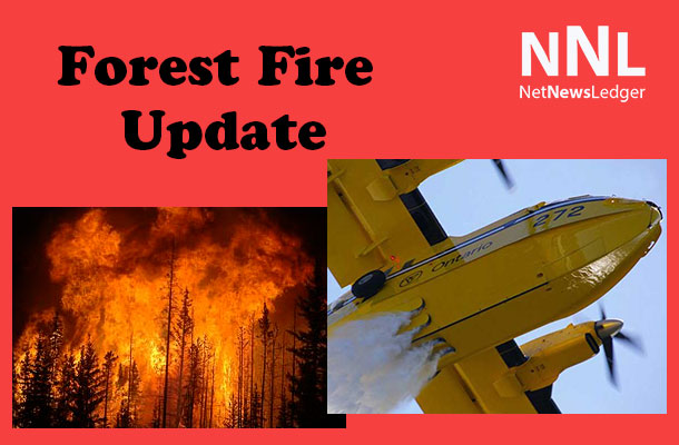
This support is provided through coordination with District Emergency Response Teams of the Ministry of Natural Resources and Forestry.
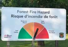
Despite low fire hazards and flooding conditions in the southern sectors of the region, a high hazard remains in the northern and northeastern sectors of the region. Rain is in the forecast for the next few days so this is expected to have a moderating effect on the northern fire hazards.
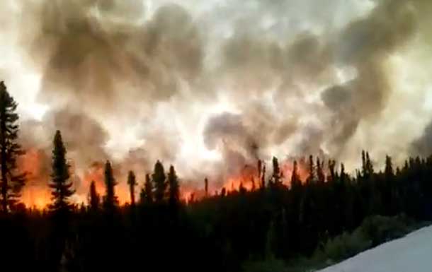
There were no new fires reported by day’s end on June 27 and none by the evening of June 28. There are six active fires in the Northwest Region at this time.
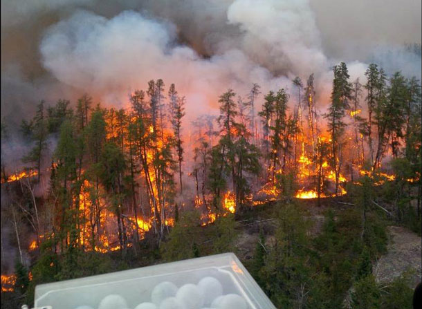
Aerial reconaissance flights over northern fires confirm that they are not threatening any values and two have partly burned to natural lake boundaries.
The fires being monitored include the following. Red Lake Fire 08 is a lightning-caused fire located about 18 kilometers south of North Spirit Lake. It is 50 hectares in size. Red Lake Fire 13 is a lightning-caused fire located about 75 kilometers north of Sandy Lake.
It is eight hectares in size. Red Lake Fire 14 is a lightning-caused fire located about 45 kilometers northwest of Sandy Lake. It is 10 hectares in size. Finally, Sioux Lookout Fire 07 is another lightning-caused fire located about 12 kilometers east of McDowell Lake. It was last mapped at about 30 hectares in size.
Two fires in the region have received direct suppression. Red Lake Fire 4 is a 95 hectare fire which is classed as under control. Located about 20 kilometers southwest of Red Lake on Medicine Stone Lake this is a suspected human-caused fire. Infrared scanning is being planned to check it for hot spots. Sioux Lookout Fire 8 is a 5.5 hectare lightning-caused fire located near the northwest side of Wabakimi Park. It is classed as being held.
Fireworks on Canada Day ~ Fireworks are commonly used to celebrate on Canada Day and through the summer months, but their hot residue can ignite forest fires. The Forest Fires Prevention Act outlines public responsibility in the safe use of fireworks. Anyone found responsible for causing a wildfire can be held responsible for the costs associated with putting the wildfire out. Another option for people is to attend an organized fireworks event.
For FireSmart tips visit http://www.ontario.ca/fireprevention
Report forest fires in the Northwest Region and the Northeast Region (for areas north of the French and Mattawa Rivers) by dialing 310-FIRE (3473). Southern region forest fires can be reported by calling the local fire department.

