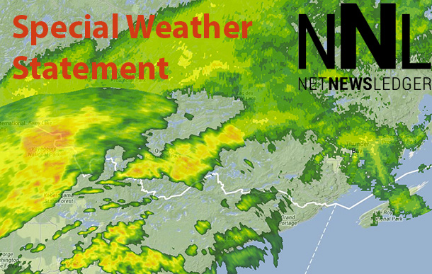
Northwestern Ontario Getting Significant Rain
THUNDER BAY – WEATHER – Updated –
Significant rain continues this morning.
Showers continue as a front remains nearly stationary over the area. Total rainfall amounts of 25 to 35 mm are expected before the showers taper off near midday. Locally higher amounts may be possible due to thunderstorms.
Environment Canada has issued a special weather statement Saturday Night for Thunder Bay, calling for “Significant Rain” for the area overnight.
A front located near Rainy Lake will remain relatively stationary into Sunday morning.
Several rounds of showers and thunderstorms are expected near this front before they taper off Sunday. Total rainfall amounts of 25 to 35 mm are forecast across the regions. Locally higher amounts are possible due to thunderstorms.
Rainfall Warnings
Rainfall warning in effect for:
Atikokan – Shebandowan – Quetico Park
Upsala – Raith
Rainfall – early evening to early afternoon.
Rain, at times heavy, continues.
A front near Rainy Lake will remain nearly stationary into Sunday morning. Several rounds of heavy showers are expected along this front before they taper off Sunday. Total rainfall amounts of 50 to 80 mm of rain are forecast by late Sunday morning across the regions. Locally higher amounts are possible due to thunderstorms.
Localized flooding in low-lying areas is possible. Watch for possible washouts near rivers, creeks and culverts.
Weather Statement
Special weather statement in effect for:
Geraldton – Longlac – Caramat
Nakina – Aroland – Pagwa
Significant rain tonight.
A front located near Rainy Lake will remain relatively stationary into Sunday morning. Several rounds of showers and thunderstorms are expected near this front before they taper off Sunday. Total rainfall amounts of 25 to 35 mm are forecast across the regions. Locally higher amounts are possible due to thunderstorms.


