WASHINGTON — Organizations in Northwestern Ontario and Northeastern Minnesota have joined with National Geographic Maps to highlight the world-class natural and cultural attractions of the Heart of the Continent.
You can have a valuable role to play
“Participation by local residents is critical to the project’s success,” said Frank Jewell, Steering Committee Chair. “Our goal is to get nominations from across the region that identify the things people love best, those ‘must see’ places that might range from an incredibly beautiful hike to a historic downtown with exceptional galleries and restaurants.”
The project seeks to contribute to the economic health of communities by promoting geotourism: tourism that sustains or enhances the geographical character of a place — its environment, culture, aesthetics, heritage and the well-being of its residents.
A community-based nomination process launched today will be used to create a National Geographic “Geotourism MapGuide” for the region.
The Heart of the Continent area designated for the map encompasses part of Koochiching and all of Cook, Lake and St. Louis counties in Minnesota and northwestern Ontario border municipalities from Fort Frances to Thunder Bay, including gateway and First Nation communities, plus private and public lands in both nations. The interactive Web site will be available late fall or early winter 2014.
Local residents and visitors are invited to nominate for inclusion in the MapGuide the landmarks, attractions, activities, events and even local foods that define the region’s character and distinctive appeal. Nominations may be made through June 15, 2014, at www.traveltheheart.org.
Public forums and presentations will be conducted in communities throughout the Heart of the Continent to encourage nominations and community involvement.
“The National Geographic Maps Division is pleased to have the opportunity to spotlight this region and, in doing so, support and sustain it as one of the treasured natural places on the globe,” said James Dion, Director of Tourism Programs, National Geographic Maps. “The MapGuide will celebrate the area’s abundant scenic, cultural and historical attributes from the unique vantage point of those who live there.”
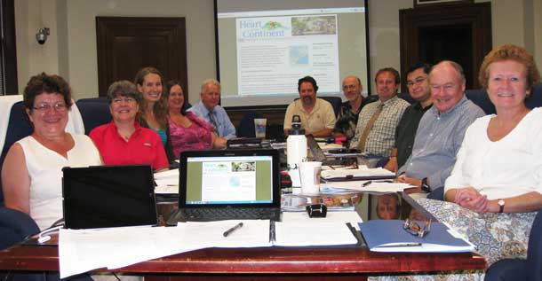
Beyond open-to-the-public map point nomination, the MapGuide development process calls for oversight by a regional committee. The Heart of the Continent Stewardship Council represents an assortment of geotourism perspectives, including community leadership, historic preservation, natural resources, public lands management, indigenous peoples, traditional and local arts, agriculture, tourism promotion and local businesses.
A primary task for the stewardship council will be to review and sort nomination submissions prior to sending them to National Geographic. They will have final say on the selected sites.
The National Geographic Society has worked with community-based alliances to develop similar Geotourism MapGuides and websites in other regions around the world. Geotourism MapGuide projects have been completed or are ongoing in the U.S. Gulf Coast States (Alabama, Florida, Louisiana, Mississippi) Central Cascades (Oregon, Washington), the Crown of the Continent (Alberta, British Columbia, Montana), Four Corners (Arizona, Colorado, New Mexico, Utah), Greater Yellowstone (Idaho, Montana, Wyoming), Guatemala, Lakes to Locks Passage (New York, Quebec), Newfoundland, Portugal’s Douro Valley, Redwood Coast (California), Sierra Nevada (California, Nevada) and the Tennessee River Valley (Smoky Mountains through Knoxville and south to Chattanooga and north Georgia).National Geographic Maps was established as a division of the National Geographic Society in 1915 and has been producing maps for National Geographic magazine and other Society groups for 95 years. National Geographic Maps produces outdoor recreation mapping software, Trails Illustrated maps and software, globes, wall maps, travel maps and atlases. For more information on National Geographic Maps, visit natgeomaps.com.


