THUNDER BAY – Flooding across Ontario has some in Thunder Bay concerned about what the forecast is for our city. Last May’s flood has many people concerned about the risk of a flood this spring. It must be noted that last year’s flood at the end of May came long after the normal spring melt. It was a perfect storm of weather conditions, days of rain saturating the ground and then a major downpour that caused the flooding and massive damage.
The Lakehead Region Conservation Authority is responsible for supplying Flood Watch and Flood Warnings to municipal governments. It is then up to the municipal government to put into place required actions and emergency plans. For areas not covered by a Conservation Authority, the Ministry of Natural Resources take the responsibility.
Flood Condition ‘Normal’ in Thunder Bay
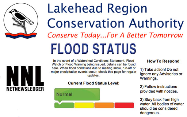
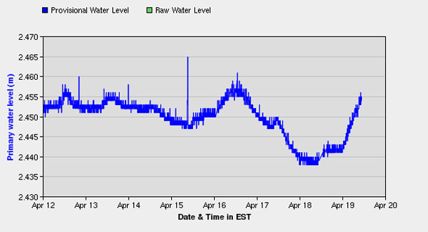
Right now in Thunder Bay, despite the massive amounts of snow over the past few days, and the forecast for warming weather over the next five days, the flood warnings are rated as ‘Normal’. Normal means, conditions are within NORMAL limits. No flooding is expected.
Updates from the Conservation Authority will come as needed.
MNR Spokesperson Ian Cameron states, “The flood season is from January 1st to December 31st. and we have different causes of flooding all throughout that period. The surface water monitoring centre is responsible for performing watershed condition analysis and determining potential for flood and drought situations in the province. We do a daily hazard identification and risk analysis, where we review stream flow and water level conditions around the province. We look at weather forecasts, we look at weather information such as temperature, precipitation, wind speed and direction and we analyse whether there is potential for flooding.
“The conservation authorities and the MNR districts get this information directly and they evaluate locally what the potential is. The conservation authorities and MNR districts would then determine if the local situation is accurate, because we have the provincial perspective. They would determine if the local situation is right for flooding potential, then they would issue messages to the press and to the municipalities.
“The Municipalities have the responsibility of first responders in the event of a flood and the members of the public are to contact the municipalities directly.”
Fort Albany Flood Update

In Fort Albany, there will be a community meeting at 6:o0PMEDT to update on the current flooding outlook. All community members are encouraged to attend. Brent Nakoochee is the community Flood Coordinator and can be reached at (705) 278-5252.
Sault Ste Marie Flood Update
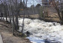
From Friday: A weather system is moving through the American mid-west, across Lake Michigan into northern Lake Huron. Heavy rain starting Thursday into Friday is expected across this path with 50-75mm likely, and a risk of higher amounts in areas receiving thunderstorm activity. The Goulais River is starting to see some movement of ice and water levels at Searchmont and Kirby’s Corners are rising. Although the Goulais River is below flood critical levels at this point the rainfall produced from the storm combined with snowmelt runoff from a heavy snow load has the potential to create ice jams and flooding.
Ice in the lower Goulais River is still fairly thick for this time of year and rapid increases in flows can cause the ice to break apart and could result in ice jams. Local reports indicate that the mouth of the Goulais River is still frozen and this could become problematic for the release of ice moving downstream.
Residents along the Goulais River should monitor conditions closely. The full impacts of the rainstorm could potentially not be felt for 24 – 48 hours after the storm as the water moves downstream.
Please use extreme caution around ice and water at this time of the year, as ice conditions and water levels on streams, rivers, and lakes can change quickly.
The Ministry of Natural Resources continues to monitor river conditions and sensors. As information becomes available this statement will be updated.
In the event of an emergency caused by flooding residents should call 911 if they require assistance of emergency personnel.


