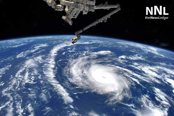
Tropical Storm Helene is rapidly intensifying in the Gulf of Mexico, prompting hurricane warnings and concerns of a major hurricane landfall on Florida’s Gulf Coast this week.
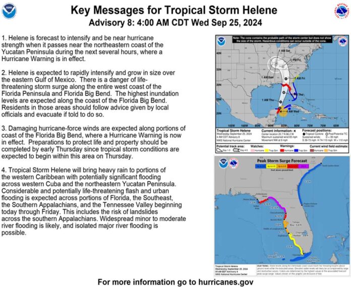
As of Wednesday morning, Helene was located about 60 miles east-northeast of Cozumel, Mexico, and 100 miles southwest of the western tip of Cuba, packing maximum sustained winds of 70 mph. The storm is currently moving northwest at 9 mph.
The National Hurricane Center forecasts Helene to strengthen into a Category 3 hurricane by Thursday, bringing with it the potential for significant storm surges, damaging winds, and heavy rainfall. Hurricane warnings have been issued for parts of Mexico’s Yucatan Peninsula and Florida’s northwestern coastline.
Residents in the affected areas are urged to closely monitor updates and take necessary precautions, including preparing for potential evacuations and securing their homes. The storm’s current trajectory suggests a possible landfall on Florida’s Gulf Coast late Thursday or early Friday.
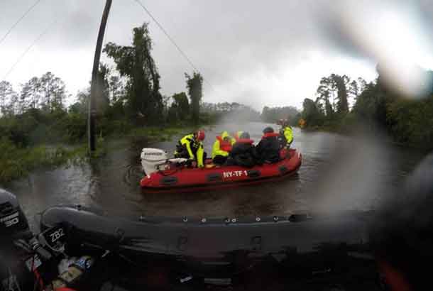
The potential impact of Hurricane Helene could be substantial, with storm surge predictions of up to 15 feet in some areas. Coastal communities are particularly vulnerable to flooding and erosion.
Stay tuned to NetNewsLedger for further updates on Tropical Storm Helene as it develops. Remember, it’s crucial to stay informed and prepared during hurricane season.


