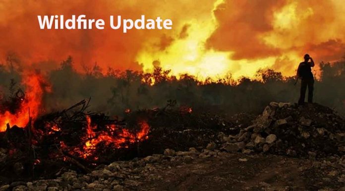
THUNDER BAY – Wildfire Update – As of late afternoon on June 19, two new fires were confirmed in the Northwest Region. The first, Nipigon 22, is near Chriselle Lake, roughly 75 kilometres north of Thunder Bay, and the second, Sioux Lookout 44, is near the north shore of Lake St. Joseph, about 25 kilometres southwest of Pickle Lake. Both fires are not under control with Nipigon 22 and Sioux Lookout 44 measuring 1.0 hectare and 25 hectares in size, respectively.
In total, there are 32 active fires in the Northwest Region; ten are not under control, five are under control, and 17 are being observed.
Noteworthy Fires
Several fires of note include Sioux Lookout 7, north of Cat Lake First Nation and spanning 16,002.79 hectares, Nipigon 13, located west of Ogoki Lake and covering 3,077.3 hectares, and Nipigon 19, northwest of Ogoki Lake, spread across 444 hectares. All these fires are not under control. Additionally, Red Lake 28, located 50 kilometres north of Lac Seul First Nation, spans 4,238.65 hectares and is not under control. Fire hazard conditions in the region are primarily high to extreme, with moderate hazard areas in the Kenora sector and far north parts of the Sioux Lookout sector.
-
- Sioux Lookout 7 is located north of Cat Lake First Nation and is 16,002.79 hectares in size. Hose lines have been established on the southern end of the fire while the northern section is being monitored. The fire remains not under control.
-
- Nipigon 13 is located west of Ogoki Lake and is 3,077.3 hectares in size and not under control. The fire continues to display intense fire behaviour. Values assessment and protection is ongoing.
-
- Nipigon 19 is located northwest of Ogoki Lake and is 444 hectares in size and not under control. Crews continue to establish hose lines while helicopter bucketing operations and heavy equipment provide support.
- Red Lake 28 is located 50 kilometers North of Lac Seul First Nation and is 4,238.65 hectares in size and not under control. Values assessment and protection are ongoing.
Restricted Fire Zone
Due to the extreme forest fire hazard, the Ministry of Natural Resources and Forestry has declared a Restricted Fire Zone for the entire fire region of Ontario (Zones 1 to 36). The Restricted Fire Zone is in effect until further notice.
Open-air burning, including campfires, is not permitted within the boundaries of a Restricted Fire Zone. Portable gas or propane stoves may be used for cooking and warmth but must be handled with extreme caution.
All burning permits are suspended.
To report a wildland fire located north of the French and Mattawa rivers, please dial 310-FIRE. For fires south of the French or Mattawa rivers, please dial 911.


