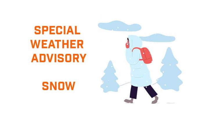
Special Weather Statement Issued Ahead of Heavy Snowfall Event
Dryden and Vermilion Bay prepare for 10–20 cm of snow Wednesday into Thursday. Blowing snow and reduced visibility expected. Calmer, milder weather by Friday
DRYDEN, ON – April 1, 2025 – No joke—April is arriving with a snowy twist in Dryden and Vermilion Bay. Environment Canada has issued a Special Weather Statement warning of 10 to 20 cm of accumulating snow starting Wednesday morning through Thursday. With peak snowfall rates of up to 4 cm per hour and the possibility of blowing snow, conditions are expected to get slippery fast. It’s a good time to stock up on hot chocolate and give your shovel a pep talk.
Current Conditions: Sunshine With a Side of Chill
The early morning air is biting, with wind chills of -21°C to start the day. But skies are clear and cheery, and temperatures will climb to a high of +2°C as the day progresses. Winds from the southeast will increase to 20 km/h this afternoon, bringing in cloud cover later today. The UV index sits at a moderate 4, so don’t forget your shades if you’re braving the chilly sunshine.
Wednesday: From Flurries to Full-On Snowfall
Wednesday morning starts off cloudy, with a 40% chance of early flurries. But by late morning, the real snow begins. Expect 10 cm of snow during the day, with heavier bands possible depending on how the system tracks.
Winds will strengthen from the east at 20 km/h, gusting to 40, which will create local blowing snow, especially in open areas. Visibility will be reduced at times, and roads will become increasingly snow-covered. Temperatures will hover near zero, but wind chills around -10°C in the morning will keep things feeling brisk.
The snow continues Wednesday night, with another few centimetres expected as the low dips to -6°C.
Thursday: A Slushy Slowdown, Then Some Sun
By Thursday, snow tapers off to a 30% chance of flurries, but road conditions may still be dicey as crews catch up on cleanup. The temperature will rise to a high of +6°C, which should help with some natural snow removal.
Thursday night brings more cloud cover with a low of -4°C, followed by a cloudy Friday and a high of +5°C. There’s also a 30% chance of light flurries or rain showers Friday night, as the region dances between winter and spring.
Historical Weather Snapshot: April in Dryden
April 1st has shown many faces in Dryden over the years. The record high is a comfortable 15.0°C, while the record low is a nose-numbing -28.2°C. Today’s mix of cold and mild is a familiar April balancing act—though 20 cm of snow reminds us just how much winter refuses to go quietly.
What to Wear: Bundle Today, Blizzards Tomorrow
For Tuesday, grab your winter jacket, gloves, and a scarf—especially with that wind chill. By Wednesday, it’s back to full snowstorm attire: waterproof boots, snow pants, and something to keep your head and face warm in gusty conditions. You’ll want your vehicle winter-ready too—brush off that emergency kit and top up the washer fluid.
Weather Trivia: Dryden’s Mid-Spring Snowfalls
Did you know that Dryden averages around 25 cm of snow in April? While spring often teases us with mild weather, it’s not unusual for a solid snowstorm to sneak in mid-month (or, in this case, right at the start). April might bring flowers elsewhere, but here, it’s just another name for “second winter.”


