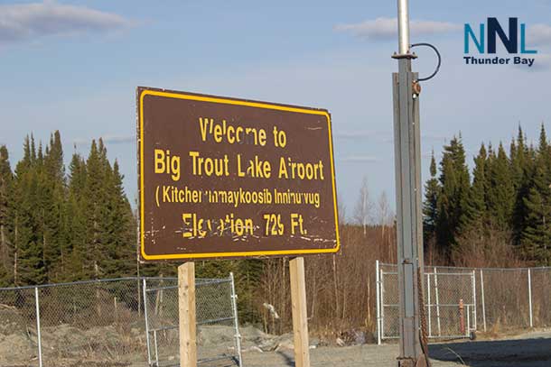
Poor Visibility and Strong Winds to Hit Big Trout Lake (KI) and Surrounding Communities
Winter weather advisory issued for Big Trout Lake and nearby areas with snow, high winds, and poor visibility expected Sunday night into Monday. Travel with caution!
Western Northern Ontario is bracing for a winter wallop with a weather advisory in effect for Big Trout Lake, Muskrat Dam, Sandy Lake, Wasaho Cree Nation, Cat Lake, and surrounding areas. If you were planning on heading out, think again—Sunday night into Monday could be a wild ride.
What’s Brewing in the Weather
The weather advisory, issued at 6:59 PM EST Saturday, January 25, 2025, warns of poor visibility caused by snow and blowing snow, with strong northwesterly winds gusting up to 70 km/h. Between 5 to 10 cm of snow is expected, starting Sunday afternoon and intensifying through Sunday night into Monday. The situation will improve Monday evening, but not before the region gets blasted with harsh winter conditions.
The Hazards: Wind, Snow, and Visibility
Behind a cold front, those pesky northwesterly winds will really ramp up Sunday night, carrying snow and reducing visibility to near zero at times. If you’re caught outdoors or on the road, disorientation is a real risk. Bundle up and stay put if possible! Temperatures are also expected to drop sharply as the cold front moves through, making things even more uncomfortable.
Here’s your survival checklist: Avoid unnecessary travel, stay indoors, and if you absolutely must go out, bring along an emergency kit and your phone. Keep loved ones informed of your whereabouts.
Wardrobe and Travel Advice
If you’re venturing outside despite the advisory, dress in layers with a good winter coat, windproof accessories, and insulated boots. A scarf and gloves are non-negotiable, and don’t even think about skipping that hat! Travel could be treacherous, so if your car’s not winter-ready, now’s the time to double-check your tires and emergency supplies.
A Look Back in Weather History
January 25 has brought all kinds of weather over the years. The record high for this date in nearby northern Ontario areas was a balmy 4.0°C, while the record low was a teeth-chattering -39.5°C. This year’s forecast feels closer to the latter, so prepare for some frosty air!
Wrapping Up: Stay Safe and Stay Inside
Sunday night into Monday will be a test of winter survival for many across northern Ontario. Remember to stay warm, stay safe, and avoid unnecessary risks. And if you’re cozy at home, it’s the perfect excuse to enjoy some hot cocoa and a good book.


