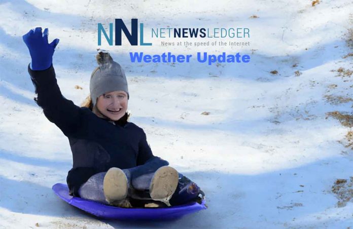
Saskatchewan and Manitoba Brace for a Snowy Prelude as an Alberta Clipper Marches Eastward
As autumn’s gentle warmth gradually recedes, the prairies are set to experience winter’s chilly prelude, courtesy of an Alberta Clipper moving eastward. Weather advisories have been flagged across Saskatchewan and Manitoba, signalling the onset of colder temperatures and the season’s first accumulating snow. The transition marks the end of the mild fall weather, paving the way for a crisp and snowy ambiance as we inch closer to Halloween.
What is an Alberta Clipper?
An Alberta Clipper is a meteorological phenomenon characterized by its fast-moving weather fronts and origins in the lee of the Canadian Rockies. These systems are notorious for swiftly traversing the terrain, delivering bouts of snow, and heralding colder temperatures in their wake. They are typically associated with light snowfall amounts but can occasionally spur heavier snow squalls depending on local conditions.
Weather Advisory: A Glance into the Frosty Week Ahead
According to the weather advisory issued on Sunday, October 22, 2023, the region is on the cusp of a marked pattern change. The imminent cold front is anticipated to slump southward, initiating a phase of showers and introducing the first Arctic air of the season. The temperature is predicted to hover in the single digits for a major part of the week before plummeting to between -5 to -10 degrees, setting a chilly scene as we approach the weekend and Halloween.
The frosty curtain will unveil with accumulating snow, initially gracing western Saskatchewan late Monday into Tuesday. As the snowy mantle drifts, it is expected to envelop the province Monday night into Tuesday before making its wintry overture in western Manitoba from Tuesday into Wednesday. General snowfall amounts are forecasted to be around the 5 cm mark, although southwestern Saskatchewan might witness a heavier snowfall, necessitating a close watch for potential snowfall warnings as the event unfolds.
Snowfall Event: A Cautious Eye on Southern Manitoba
For the residents of southern Manitoba, the probability of a snowfall event is on an upward trend, slated for mid to late-week. However, the precise snowfall amounts and locations remain elusive at this juncture. As the weather narrative develops, keeping a vigilant eye on updated forecasts will be pivotal.
The system will likely be entering the Kenora and Red Lake Vermilion Bay Dryden region by midweek. That could cause travel delays, especially on the section of the Trans-Canada Highway from Kenora to Dryden, where icy road conditions can and have caused collisions in past winters.
Residents are encouraged to stay abreast of the latest weather updates by returning to netnewsledger.com for an array of watches, warnings, and forecasts throughout the upcoming week, ensuring a prepared and safe transition into the colder season.


