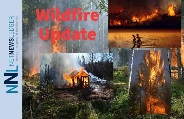
THUNDER BAY – WILDFIRE UPDATE – This update provides the latest information on the active wildfires in the Northwest Region. It includes details on the current fire status, new fire confirmations, fire hazards, notable fires, and important announcements.
Fire Status:
- Active Fires: There are currently 61 active wildland fires in the Northwest Region. Out of these, 7 fires are not under control, 8 fires are being held, 7 fires are under control, and 39 fires are being observed.
New Fire Confirmations: Nipigon 47: Located approximately 39.3 kilometers southwest of Webequie near the shore of Blackbirch Lake, this 1.0-hectare fire is currently being observed.
- Nipigon 48: Located approximately 0.3 kilometers north of Ogoki Road between Marshall Lake and Meta Lake, this 0.1-hectare fire is not yet under control.
- Sioux Lookout 75: This remote fire is located approximately 33.5 kilometers northeast of Little Sachigo Lake and covers an area of 100 hectares. It is currently being observed.
Fire Hazards: The wildland fire hazard in the Northwest Region varies across different sectors. The eastern side of the region shows high to extreme fire hazards, while the Fort Frances, Dryden, and Kenora sectors display moderate to high hazards. The Red Lake, Sioux Lookout, and Far North sectors mostly exhibit low fire hazards. For a detailed view of fire hazard conditions in your area and an overview of regional fires, refer to our Interactive Map.
Fires of Note in Northwest District
Sioux Lookout 33: Located on the western edge of Wabakimi Provincial Park, this fire spans an area of 60,394 hectares and remains not under control. Values protection efforts are ongoing, and helicopter bucketing operations are being utilized to limit the fire’s spread.
- Sioux Lookout 44: Situated on the west side of Lake St. Joseph, this fire covers 6,730 hectares and is not under control. Values protection measures continue, supported by helicopter bucketing operations.
- Sioux Lookout 53: Positioned 3.5 kilometers east of the Bearskin Lake First Nation, this fire spans 334.2 hectares and is currently being held. Significant progress is being made in managing the fire.
- Nipigon 13: Located west of Ogoki Lake, this fire has expanded to 39,194 hectares and is not under control. Values assessment and protection efforts are ongoing.
- Nipigon 19: Situated northwest of Ogoki Lake, this fire covers 10,182 hectares and remains not under control. Crews are actively establishing hose lines, and helicopter bucketing operations provide support.
- Red Lake 28: Located 40 kilometers north of Lac Seul First Nation, this fire spans 19,177 hectares and is not under control. Crews are focused on establishing hose lines, and helicopter bucketing operations continue.
Restricted Fire Zone: Due to persistently dry forest fuels and the risk of holdover ignition from lightning strikes, the Ministry of Natural Resources and Forestry has declared a Restricted Fire Zone for the entire fire region of Ontario (Zones 1 to 36). The Restricted Fire Zone prohibits open air burning, including campfires, within its boundaries. Portable gas or propane stoves may be used for cooking and warmth but should be handled with extreme caution. All burning permits are suspended. For a map of the areas affected by the Restricted Fire Zone, refer to the provided link.
Contact Information: To report a wildland fire located north of the French and Mattawa rivers, dial 310-FIRE. For forest fires located south of the French or Mattawa rivers, dial 911.
Stay informed about the latest updates on wildfires in the Northwest Region through NetNewsLedger.

