Fire Outbreaks and Observations
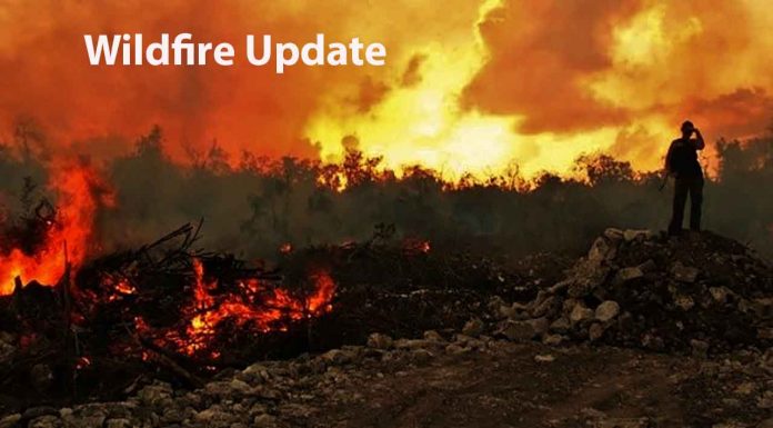
THUNDER BAY – Wildfire Update – The Northwest Region of Ontario is grappling with an escalating wildfire situation, as nine new fires have been reported. Among them, Dryden 10 is currently under control near Thaddeus Lake, while Dryden 11 poses a threat as it remains uncontrolled west of Highway 622. Sioux Lookout 31 and Sioux Lookout 32 are being observed in Wabikimi Provincial Park and near Wunnumin Lake, respectively. Nipigon 13, Nipigon 14, Nipigon 15, and Nipigon 16 are spreading west and south of various lakes, while Red Lake 32 is being monitored on the shoreline of Stout Lake.
Ongoing Fire Situations and Hazard Assessment
Several fires from the previous update continue to pose significant risks. Sioux Lookout 7 remains uncontrolled, covering a vast area of 9,285 hectares north of Cat Lake. In total, there are 36 active fires in the Northwest Region, with varying levels of containment. The wildland fire hazard is predominantly high to extreme across the western half of the region, while the eastern half experiences low to moderate hazard levels.
Northwest Region
- Nine new fires were confirmed in the Northwest Region by the early evening of June 11:
- Dryden 10 is located approximately 4.9 kilometres northeast of Thaddeus Lake near Williams Creek. The 0.2 hectare fire is currently under control.
- Dryden 11 is located approximately 7.1 kilometres west of Highway 622 between Stormy Lake and Wapageisi Lake. The 0.3 hectare fire is not yet under control.
- Sioux Lookout 31 is located in Wabikimi Provincial Park approximately 17.5 kilometres north of Whitewater Lake. The 1.0 hectare fire is currently being observed.
- Sioux Lookout 32 is located on a peninsula shoreline approximately 3.1 kilometres north of the community of Wunnumin Lake. The 0.1 hectare fire is currently being observed.
- Nipigon 13 is located approximately 16 kilometres west of Ogoki Lake and 29 kilometres east of Kagianagami Lake. The 37 hectare fire is not yet under control.
- Nipigon 14 is located approximately 43.8 kilometres south of Highway 11 and 58.1 kilometres southeast of Beardmore. The 0.4 hectare fire is not yet under control.
- Nipigon 15 is located approximately 4.6 kilometres south of Kagianagami Lake Conservation Reserve near the northern end of Kagianagami Lake. The 0.1 hectare fire is not yet under control.
- Nipigon 16 is located approximately 3.1 kilometres west Auden road and 1.7 kilometres east of Lake Nipigon near Humboldt Bay. The 6.0 hectare fire is not yet under control.
- Red Lake 32 is located approximately 21.9 kilometres west of Poplar Hill on the shoreline of Stout Lake. The 6.0 hectare fire is currently being observed.
- Four additional fires were discovered during the evening hours of June 10, following yesterday’s update:
- Red Lake 30 is located approximately 6.1 kilometres west of Jeanette Lake and 13.6 kilometres east of Perrigo Lake. The 8.0 hectare fire is not yet under control.
- Red Lake 31 is located approximately 18.3 kilometres north of Poplar Hill and 41.4 kilometres southwest of Deer Lake. The 1.0 hectare fire is currently being held.
- Thunder Bay 16 is located in Wabikimi Provincial Park approximately 25.2 kilometres north of Wabikimi Lake. The 0.2 hectare fire is currently being held.
- Kenora 22 was located approximately 2.9 kilometres north of Campfire River Conservation Reserve and 1.3 kilometres south of Roger Lake. The 0.1 hectare fire is now out.
- Fire of Note:
- Sioux Lookout 7 remains at 9,285 hectares and is not under control at this time. The fire is located north of the remote First Nation of Cat Lake. An Incident Commander is stationed in Cat Lake to monitor growth on the fire.
Restricted Fire Zone Implemented
To ensure public safety, the Ministry of Natural Resources and Forestry has declared a Restricted Fire Zone for the entire fire region of Ontario. This zone encompasses Zones 1 to 36 and will remain in effect until further notice. The Restricted Fire Zone prohibits open air burning, including campfires, and all burning permits have been suspended. However, portable gas or propane stoves can be used for cooking and warmth with extreme caution.
Report a Wildland Fire
To report a wildland fire located north of the French and Mattawa rivers, please dial 310-FIRE. To report a forest fire located south of the French or Mattawa rivers, please dial 911.


