THUNDER BAY – Wildfire Update – The Northwest Region of Ontario is grappling with an escalating wildfire situation as nine new wildland fires have been confirmed. As of the early evening of June 3rd, these fires pose a significant challenge to firefighters and emergency responders.
Among the newly discovered fires, Red Lake 11, located near Little Vermilion Lake, approximately 3.2 kilometers west of Nungesser Road and 38 kilometers north of the town of Red Lake, stands at the forefront. This fire, spanning 0.1 hectares, remains uncontrolled.
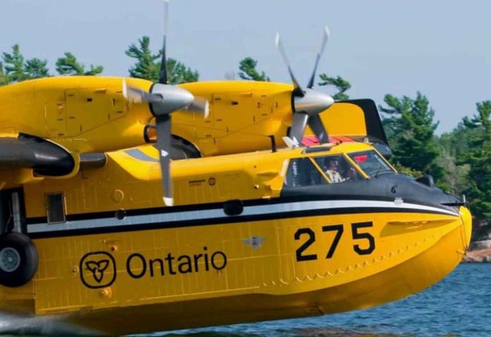
In remote areas north of Gravel River Provincial Park, roughly 76 kilometers southwest of Geraldton, Nipigon 2 and Nipigon 4 have emerged. The combined area affected by these fires totals two hectares, and both fires are currently not under control. Aerial suppression efforts using water bombers were deployed on Saturday afternoon.
Another fire of concern, Nipigon 3, has been identified near Kilbarry Lake, located close to the northeastern boundary of Wabakimi Provincial Park and approximately 80 kilometers southwest of Eabametoong (Fort Hope) First Nation. This fire, too, remains uncontrolled.
Fort Frances 4, situated about 44 kilometers east of Atikokan near Trousers Lake in Quetico Provincial Park, covers an area of 0.1 hectares and is not yet under control.
Meanwhile, Red Lake 12, situated approximately 16 kilometers east of Pikangikum First Nation, is being held at 0.1 hectares.
Two remote fires, Red Lake 13 (3.5 hectares) and Red Lake 14 (0.2 hectares), have emerged northeast of Poplar Hill First Nation, at distances of approximately 24 and 41 kilometers, respectively. Both fires are not under control.
In addition, Thunder Bay 8, located north of Muskeg Lake, roughly 52 kilometers north of Shabaqua Corners, has ignited. The fire spans an area of 0.1 hectares and is currently not under control.
As of this update, the Northwest Region is faced with a total of 15 active fires, with 10 of them classified as not under control. Two fires are being held, two are under control, and one is being monitored closely.
Of note, Sioux Lookout 7 remains a significant concern, with an area spanning 9,285 hectares and no control established at this time. The fire is situated north of the remote First Nation community of Cat Lake. Fire crews and support personnel, including 12 fire crews and 3 helicopters, are working diligently to combat the fire. Encouragingly, the fire is moving away from the community, and progress has been made in suppressing the southern section of the fire nearest to the community, with the support of bucketing helicopters.
The wildfire hazard level across the Northwest Region ranges from moderate to high, with isolated areas experiencing low and extreme hazards.
In response to the extreme forest fire threat, the Ministry of Natural Resources and Forestry has declared a Restricted Fire Zone. This zone, implemented on Thursday, June 1st at 12:01 am local time, applies to the Districts of Kenora, Red Lake/Sioux Lookout, Dryden/Fort Frances/Atikokan, Thunder Bay/Ignace, the northwest portion of the Far North, and portions of Nipigon/Geraldton District. Within this zone, all open air burning, including campfires, is strictly prohibited. However, portable gas or propane stoves may be used for cooking and warmth,


