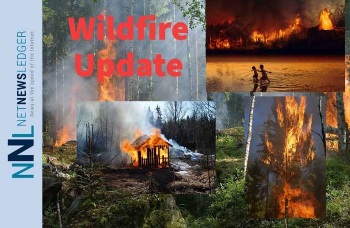
Thunder Bay Wildfire Update – There were a total of six new fires confirmed today. Right now across the region there are 101 active wildfires.
Northwest Region Overview
- There were six new fires confirmed in the Northwest Region by the early evening of August 18.
- Dryden 123 is not under control at 0.1 hectares and is located near Abamategwia Lake, approximately 32 kilometres northwest of Ignace.
- Dryden 124 is not under control at 0.1 hectares and is located near Ekal Lake, approximately 11 kilometres southeast of Ignace.
- Kenora 146 is not under control at 0.5 hectares and is located near Fisher Lake, approximately 66 kilometres southeast of Kenora.
- Fort Frances 142 is not under control at 7 hectares and is located near Antoine Lake, approximately 26 kilometres south of Atikokan.
- Sioux Lookout 134 is being observed at 0.5 hectares and is located on an island on Lac Seul, approximately 17 kilometres southeast of Ear Falls.
- Kenora 147 is not under control at 0.3 hectares and is located near Maynard Lake, approximately 83 kilometres northeast of Kenora.
- At the time of this update there were 101 active fires in the northwest region. 14 fires were not under control, 7 fires were being held, 15 fires were under control and 65 fires were being monitored.
- To see the wildland fire hazard near you, visit our interactive map at Ontario.ca/forestfire.
Fires of Note
Kenora 51
- Kenora 51 is 200,667 hectares in size and remains not under control.
- Kenora 51 remains 20 km north of Wabaseemoong on the northern side of Umfreville Lake.
- At 200,667 hectares in size, Kenora 51 alone is larger than the 10 year average for the total hectares burned in the entire province to this date in the season (162,069 hectares). Kenora 51 also accounts for 28 per cent of all the fire on the landscape in Ontario during this severe fire season (716,458 hectares).
- Additional crews continue to be cycled in and placed on the fire line to continue with suppression efforts replacing those who require rest days.
- Fire behaviour varies across the Kenora 51 area. The west side of the fire has seen low behaviour in recent days. Fire behaviour is increasing on the east and northeast sections, a trend that is expected to continue as sunny conditions, higher temperatures and lower relative humidities persist.
- On the fire’s west side, crews supported by bucketing helicopters are establishing hoselines and limiting the spread of the fire in the direction of the Davidson Lake area.
- On the fire’s southeastern flank, crews supported by bucketing helicopters are establishing hoselines in the Fletcher Lake, Rowdy Lake and Right Lake areas.
- Heavy equipment continues to develop fireguard to the east and south of the fire
- An Incident Management Team is established on the fire.
Red Lake 65
- The fire is 20,254 hectares and located 6 kilometres west of Poplar Hill First Nation.
- Crews continue laying and working hose lines on strategic areas of the fires. Heli-buckets continue to assist where needed.
- Fire behaviour is smouldering with some visible smoke
Red Lake 51
- The fire is 53,522 hectares and located approximately 24 kilometres west of Deer Lake First Nation.
- Crews continue to mop up smokes on the north west corner and are making good progress on the eastern flank to the south east.
- Fire behaviour is smouldering with some visible smoke.
- An Incident Management Team has been assigned to oversee this fire.
Red Lake 77
- The fire is not under control and is 32,799 ha, approximately 33 km west of Red Lake.
- This fire has experienced some increased fire activity over the past couple of days primarily on the western flank; wet weather moving into the area in the next few days should help in the containment of this fire.
- The western flank of RED77 is showing more active fire behaviour with open flame and torching; this area will be remapped and re-evaluated in the next day.
- Infrared scanning continues overnight to assist crews in locating new smokes.
- Fireguard continues to be built east of the fire with heavy equipment and is nearing completion.
Restricted Fire Zone in effect
Due to the high to extreme forest fire hazard, the Ministry of Northern Development, Mines, Natural Resources and Forestry is maintaining a Restricted Fire Zone in Kenora, Fort Frances, Thunder Bay (excluding Wabakimi Provincial Park) and Dryden Districts, and southern portions of Sioux Lookout and Red Lake Districts. The Restricted Fire Zone is in effect until further notice. Outdoor fires are banned. Portable gas stoves may still be used BUT must be handled with extreme care. You can learn more about Restricted Fire Zones here. For a more detailed boundary of the Restricted Fire Zone, consult the interactive fire map at Ontario.ca/forestfire or the map here.
Restrictions due to forest fire activity in the Red Lake District
Due to extreme forest fire activity, the Ministry of Northern Development, Mines, Natural Resources and Forestry, Red Lake District, an updated Implementation Order is now in effect until further notice that restricts access and use of certain roads and Crown lands.
All access to the following areas are prohibited unless authorized by a travel permit issued by the Red Lake District NDMNRF.
Specifically, all modes of travel and use of the North Road, Pineridge Road, Suffel Lake Road, Iriam Road and the portion of Longlegged Road west of the Conifer Road and Longlegged Road junction.
All modes of travel/access onto Storey Lake, Philip Lake, Pringle Lake (including Dedicated Protected Areas), and the North shore of Nungesser Lake at RED 68 fire perimeter.
Woodland Caribou Provincial Park, Eagle Snowshoe Conservation Reserve, Little Grand Rapids Protected Area, Lake Country Protected Area and all Crown land as outlined in the hatched area identified on the Implementation order map.
For information on travel permits call 807-727-1345.
To view a map of the implementation order area at ontario.ca/forestfire click here.
Restrictions due to forest fire activity in the Kenora District
The Ministry of Northern Development, Mines, Natural Resources and Forestry, Kenora District, is advising the public that due to extreme forest fire activity from the Kenora 51 fire, an Implementation Order is now in effect until further notice that restricts access and use of certain roads and Crown lands.
All travel, use and access to the following areas are prohibited unless authorized by a travel permit issued by the Kenora District Ministry of Northern Development, Mines, Natural Resources and Forestry.
This includes all travel on Sand Lake Road, from the Highway 525 junction, east to the English River Road Junction, all travel on the English River Road, north of the Sand Lake Road junction and all travel on the Werner Lake Road from the Manitoba Border eastward to the end of the road
All use of lakes and waterways accessible from the English River system, between Caribou Falls and Separation Rapids including all of Umfreville Lake is prohibited
For detailed information on the restricted access area including obtaining a map or for information on how to apply for a travel permit please call 807-456-2694.
Please visit ontario.ca/forestfire to view the current restrictions and associated maps. Or click here to view a map of the expanded Implementation Order area.


