Fire Hazard is Extreme for Most of Western Ontario
Thunder Bay – Wildfire Update – There are 16 new fires, and a total of 22 active fires across the Northwest Fire District.
The wildland fire hazard is extreme throughout most of the Kenora, Dryden, Fort Frances sectors. Red Lake, Sioux Lookout, Thunder Bay and Nipigon sectors feature a high hazard with pockets of extreme in southern areas, and moderate to low hazard conditions in the far north.

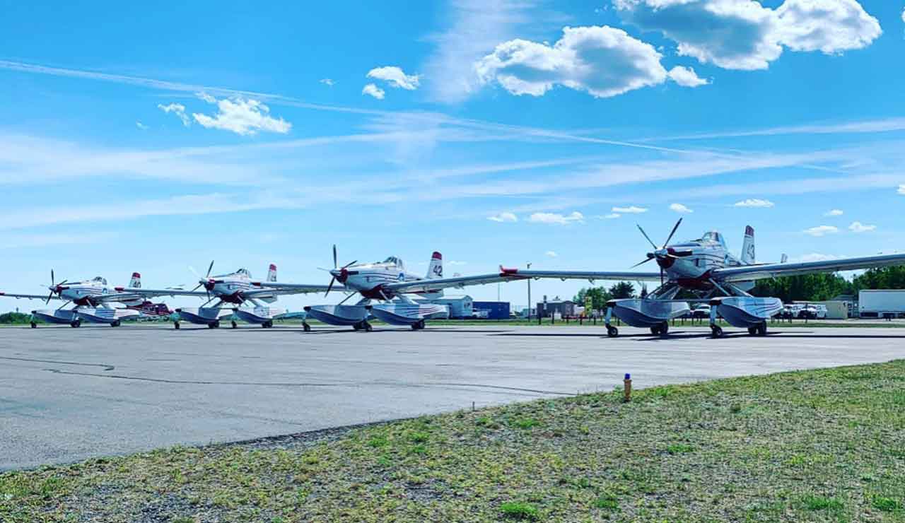
Extra Help from Northwest Territories in the form of Air Tractors are in the region now to help fight fires.
- There were 16 new fires discovered in the northwest region by the late afternoon of June 4
- Sioux Lookout 6 is located near the south shore of Hall Lake, approximately 50 kilometres northwest of Sioux Lookout. The 0.1 hectare fire is not under control.
- Dryden 19 is located west of Raven Lake, approximately 29 kilometres east of Ignace. The 1.8 hectare fire is not under control.
- Sioux Lookout 7 is located south of Lac Seul’s Wapesi Bay, approximately 42 kilometres north of Sioux Lookout, the 0.1 hectare fire has been called out.
- Sioux Lookout 8 is located Cedarbough Lake within Ojibway Provincial Park, approximately 24 kilometres southwest of Sioux Lookout.
- Sioux Lookout 9 is located on an island in Big Vermilion Lake, approximately 24 kilometres west of Sioux Lookout, the 0.2 hectare fire is not under control.
- Sioux Lookout 10 is located south of Botham Bay on Big Vermilion Lake, approximately 13 kilometres west of Sioux Lookout. The 0.1 hectare fire is not under control.
- Kenora 34 is located north of Calonna Lake, approximately 63 kilometres northeast of Kenora, the 0.1 hectare fire is not under control.
- Red Lake 19 is located near Wolf Bay on the north shore of Red Lake, approximately 17 kilometres west of the community of Red Lake. The 0.1 hectare fire is not under control.
- Dryden 20 is located west of Coronary Lake, approximately 44 kilometres north of Dryden. The 0.8 hectare fire is not under control.
- Red Lake 20 is located near Rowe Lake, approximately 68 kilometres east of Red Lake. The 0.1 hectare fire is not under control.
- Dryden 21 is located near Keikewabik Lake, approximately 46 kilometres east of Dryden. The 2.0 hectare fire is not under control.
- Dryden 22 is located near Master Lake, approximately 72 kilometres east of Dryden, The 0.1 hectare fire is not under control.
- Red Lake 21 is located near Rathouse Lake, approximately 31 kilometres, northwest of Red Lake. The 0.3 hectare fire is not under control.
- Dryden 23 is located south of Minnitaki Lake, approximately 56 kilometres east of Dryden. The 0.1 hectare fire is not under control.
- Kenora 35 is located near Big Canon Lake, approximately 66 kilometres northeast of Kenora. The 0.1 hectare fire is not under control.
- Red Lake 22 is located west of Hwy. 105, approximately 16 kilometres south of Ear Falls. The 0.1 hectare fire is not under control.
- At the time up this update there were 22 active fires in the northwest region. A total of 14 fires are not under control, one fire is being held, six fires are under control and two fires were being observed. Three fires were called out today.
- To see the fire hazard near you, consult the interactive fire map at Ontario.ca/forestfire
No Drone Zone: Be safe, stay clear of forest fires!
Flying drones around forest fires is both dangerous and illegal.
When you fly a drone near a forest fire, you can put the lives of pilots, firefighters and other emergency personnel at risk. Be safe, stay clear of forest fires.


