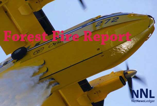
THUNDER BAY – There were twelve new wildfires reported today.
August 9, 2020 Time of Report – 17:00
Northwest Region
- Twelve new fires were confirmed in the Northwest Region by the late afternoon of Aug. 9.
- Thunder Bay 55 is located near the Ogoki Reservoir, approximately 60 kilometres northeast of Armstrong. Waterbombers actioned the 15 hectare-sized fire on Sunday afternoon. The fire is not under control.
- Sioux Lookout 47 is located near Two River Lake approximately 31 kilometres west of the remote community of Bearskin Lake. The 60 hectare fire is not under control.
- Sioux Lookout 48 is located near Fawn River, approximately 19 kilometres southeast of the remote community of Bearskin Lake. The 0.2 hectare fire is not under control.
- Thunder Bay 56 is located near Vandenbrooks Lake, approximately 88 kilometres north of Thunder Bay. The 0.3 hectare fire is not under control.
- Nipigon 43 (0.3 hectares), Nipigon 44 (1.0 hectares), Nipigon 46 (15 hectares), Nipigon 47 (80 hectares) and Nipigon 48 (12 hectares) are a cluster of fires located 55-77 kilometres generally east of Eabametoong First Nation (Fort Hope). Several of the fires received air attack on Sunday afternoon. The fires are not under control with the exception of Nipigon 43 which is being held.
- Nipigon 45 is located near Walden Lake, approximately 55 kilometres west of Eabametoong First Nation (Fort Hope). The 10 hectare fire received air attack on Sunday afternoon. The fire is not under control.
- Fort Frances 40 is located near Hwy 622, approximately seven kilometres north of Atikokan. The 0.1 hectare fire is not under control.
- Red Lake 48 is located within Sandy Lake First Nation. The 0.1 hectare fire is not under control.
- Additional fires were discovered during the evening hours of Aug. 8.
- Sioux Lookout 46 is located approximately 30 kilometres south of the remote community of Kingfisher Lake. The fire is not under control at 4.0 hectares.
- Nipigon 42 is located north of Machawaian Lake, approximately 43 kilometres northwest of Eabametoong First Nation (Fort Hope). The 0.5 hectare fire is not under control.
- Dryden 27 is located in the McIntyre Bay area of Lac Seul, approximately 40 kilometres southeast of Ear Falls. The 0.2 hectare fire is being held.
- At the time of this update, there are 20 active fires in the Northwest Region. Fourteen of the fires are not under control, two fires are being held, one fire is under control and three fires are being observed. Two fires were declared out today.
- The forest fire hazard is mainly high to extreme across the region with some areas of low to moderate hazard along the Ontario/Minnesota border.
- To see the fire hazard near you, consult the interactive fire map at Ontario.ca/forestfire
Follow Ontario’s Outdoor Burning Regulations
Aviation, Forest Fire and Emergency Services would like to remind the public to use caution when performing any outdoor burning. In order to dispose of yard waste and woody debris, we encourage you to use methods such as composting or using your local landfill. If you must burn, follow Ontario’s outdoor burning regulations.
Fires are to be ignited no sooner than 2 hours before sunset and extinguished no later than 2 hours after sunrise.
Always have tools/water adequate to contain the fire at the site.


