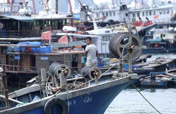
Jebi’s predicted course could bring it close to parts of western Japan hit by deadly rains and flooding that killed more than 200 people in July
TOKYO – (Reuters) – Japan braced on Monday for the arrival of strong typhoon Jebi as the storm churned north towards the islands, the latest in a series of harsh weather events to strike Japan this summer, meteorologists said.
Jebi – which means “swallow” in Korean – strengthened to super-typhoon status last week but weakened as it moved north and will likely be a Category 2 or 1 typhoon when it hits Japan on Tuesday, probably near the second-largest city of Osaka in western Japan.
Parts of western Japan are likely to see up to 300 mm (11 inches) of rain in the 24 hours to Tuesday morning, the Japanese Meteorological Agency said, with wind gusts of up to 216 km/h (134 mph) once the storm makes landfall.
Jebi’s predicted course could bring it close to parts of western Japan hit by deadly rains and flooding that killed more than 200 people in July. However, it is set to speed up once it makes landfall,minimizingg the amount of rain that will fall in one place.
Japan has been hit by extreme weather since the beginning of July that included record-breaking heat as well as devastating floods and landslides. Typhoon Cimarron sliced across western Japan less than two weeks ago, dumping heavy rain before heading out to sea.
(Reporting by Elaine Lies Editing by Paul Tait)


