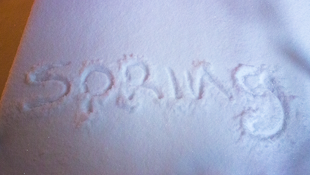
THUNDER BAY – WEATHER – The weather system tracking across Northwestern Ontario is still looking at dumping snow across the city of Thunder Bay and into Nipigon, and onto Wawa.
The system is looking large and will cover a large part of Ontario as it comes into Canada.
What is worrisome about this system is that as it goes through, it will turn to rain, which could impact travel, and possibly cause power outages.
6:21 PM EDT Monday 26 March 2018
Special weather statement in effect for:
Marathon – Schreiber
Nipigon – Rossport
Snowfall of 10 to 15 cm possible tonight into Tuesday morning.
Snow is expected to begin this evening over regions to the north of Lake Superior. The snow will transition to rain Tuesday afternoon as temperatures rise above the zero degree mark. Total snowfall amounts of 10 cm are likely with local amounts up to 15 cm possible.
The snowfall may have a significant impact on transportation. Motorists are urged to exercise caution.

