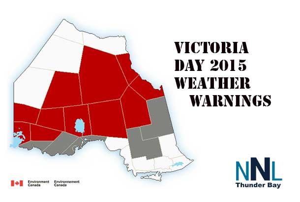
THUNDER BAY – The unofficial start of summer is supposed to be the Victoria Day Long Weekend. However in 2015 across Northwestern Ontario winter is taking a reach into late May. There are winter storm warnings, freezing rain warnings and special weather statements in effect across much of the region.
Special weather statement in effect for:
- City of Thunder Bay
A taste of winter to end the Victoria day long weekend.
Much colder Arctic air has moved into the regions in the wake of a sharp cold front which has pushed out over Lake Superior and into Northeastern Ontario.
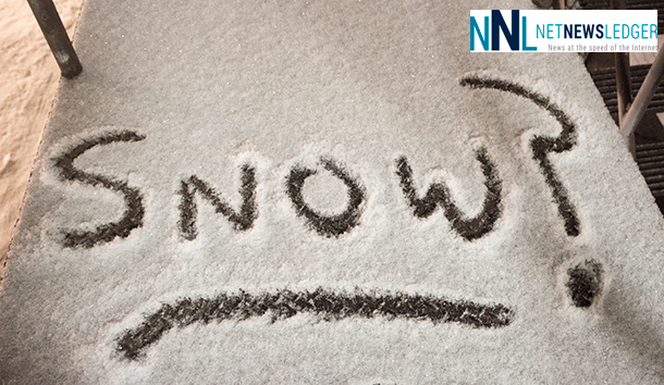
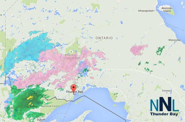
Over Northwestern Ontario, rain will become mixed with ice pellets and perhaps some freezing rain before switching over to snow this afternoon or early evening. Snowfall amounts of 2 to 5 cm are expected in many areas, although it appears that snowfall amounts will be closer to the 2 cm mark near the Lakehead at Thunder Bay. Enough snow will fall though to whiten the grass and make Victoria day look more like winter.

Over Northeastern Ontario, precipitation will turn over some ice pellets and snow tonight as it will take a little longer for the cold Arctic air in the wake of the front to arrive.
Winter travelling conditions are expected to develop once the snow and ice pellets arrive. Hence motorists should exercise caution and be prepared for locally slippery roads as a result.
Winter storm warning in effect for:
- Fort Hope – Lansdowne House – Ogoki
- Pickle Lake – Cat Lake
- Mishkeegogaming
- Red Lake – Ear Falls
- Sioux Lookout – Savant Lake
- Attawapiskat
Hazardous winter conditions are expected.
Snow, perhaps mixed at times with ice pellets this morning, will continue today, then taper off this evening. Total snowfall amounts of 15 to 20 cm with locally higher amounts of 20 to 30 are expected before the winter storm ends this evening.
In addition strong and gusty northerly winds will whip up the freshly fallen snow overnight and Monday, resulting in reduced visibility in blowing snow in exposed areas.


