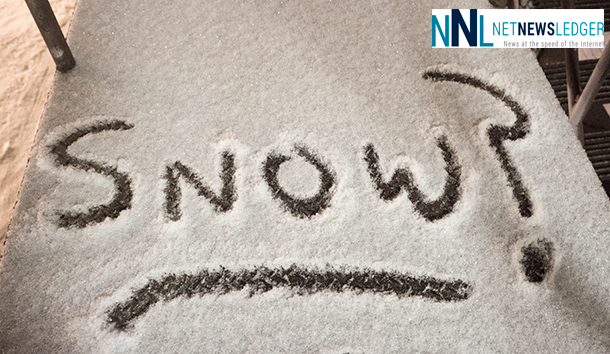
THUNDER BAY – If the weather forecast is accurate, 2015 might be trying to catch up after a slow start to snow in the Thunder Bay region.
- Thunder Bay
- Atikokan – Shebandowan – Quetico Park
- Upsala – Raith
- Kenora
- Fort Frances – Atikokan
- Dryden – Ignace
A low pressure system from the Prairies will be intensifying as it tracks over the northern Plains States tonight. Snow associated
with the system is forecast to begin over Northwestern Ontario this evening and over areas near Lake Superior overnight. Snowfallamounts near 15 cm are expected with up to 20 cm possible for areas near the Minnesota border. The snow is forecast to taper off from west to east on Saturday.
Be prepared to adjust your driving with changing road conditions. Visibility may be suddenly reduced at times in heavy snow. Surfaces such as highways, roads, walkways and parking lots may become difficult to navigate due to accumulating snow. Public Safety Canada encourages everyone to make an emergency plan and get an emergency kit with drinking water, food, medicine, a first-aid kit and a flashlight.
Snowfall Warnings are issued when significant snowfall is expected.
Further north, an extreme cold warning is in effect for Fort Severn.


