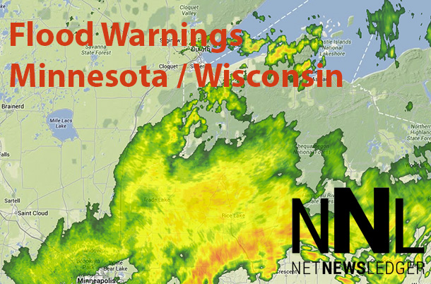
The Flood Watch is now in effect for
* portions of Minnesota and northwest Wisconsin…including the following areas…in Minnesota…Carlton/southern St. Louis… central St. Louis…Crow Wing…northern Aitkin…northern Cass…northern Cook/Northern Lake…Pine…southern Aitkin… southern Cass…southern Cook…southern Itasca and Southern Lake counties. In northwest Wisconsin…Burnett… Douglas and Washburn counties.
* Through Monday evening
* additional rainfall amounts from 1 to 3 inches…and locally heavier amounts are possible through Monday.
* Scattered showers and a few thunderstorms will persist this morning… but a relative minimum in coverage and intensity of rain should continue until this afternoon. However…additional showers and thunderstorms are expected to develop this afternoon and persist into tonight and much of Monday. Additional rainfall amounts of 1 to 3 inches are possible…on top of the 2 to 5 inches of rain that has already fallen in many locales.
* Many area creeks…streams and rivers will continue to flow at high levels through at least Monday night in response to the widespread heavy rainfall. There is also the potential for localized flash flooding.
Precautionary/preparedness actions…
A Flood Watch means there is a potential for flooding. You should monitor forecasts and be alert for any flood warnings. Those living or camping near creeks… streams… rivers… and other areas prone to flooding should be prepared to move to higher ground. Do not drive into areas where water covers the Road.


