More Snow on the Way for Thunder Bay
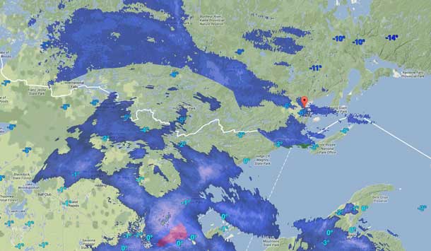
THUNDER BAY – Environment Canada states “a low pressure system currently located over South Dakota is forecast to reach Iowa by late today, then track northeast towards the Great Lakes. For regions near the Minnesota border, snow amounts of 2 to 5 cm are expected today, with another 2 to 5 cm tonight.
An additional 5 to 10 cm of snow is forecast Wednesday before tapering off Wednesday night.

Over northeastern Ontario south of a line from Searchmont to North Bay, when the warm front associated with the low approaches, precipitation will start as snow mixed with ice pellets then change to freezing rain early Wednesday morning before changing to rain.
The area of snow and freezing rain is expected to reach the Chapleau and Kirkland Lake regions Wednesday afternoon. Several hours of freezing rain may be possible which will make untreated surfaces slippery.
However, there is much uncertainty in the track and development of this system. If the system tracks further north, significant snow accumulation will also spread farther north.
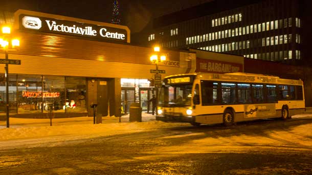
Thunder Bay schools and school buses are running. However there are delays on some routes expected.
Thunder Bay Transit bus times and updates can be found here.
Road Conditions across the region can be accessed here. Highway 17 west is reporting snow covered conditions.


