THUNDER BAY – Weather News – Hurricane Sandy has the potential to impact Ontario. The storm is already generating efforts in New Jersey and New York toward dealing with the storm. The ability of a major storm to impact travel, across the United States and Canada is very possible. Planning in New York already will likely impact business, and local government. New York is shutting down government offices.
There are no formal efforts happening in Toronto yet. It is likely that by the time Sandy hits Ontario, if it does, that it will have lost strength and would be a tropical storm or depression, not a hurricane.
The Canadian Hurricane Centre states, “Hurricane Sandy to transition to large and dangerous post-tropical cyclone on Monday. Parts of Maritimes as well as Southern Ontario and Quebec will feel some far-reaching effects from post-tropical storm Sandy later on Monday and Tuesday”.
Based on the current forecast scenario, rain from post-tropical Sandy will not begin to affect Canadian territory until later Monday night or Tuesday morning.
Southern and Eastern Ontario and Western Quebec are likely to see the most rainfall from this system. Total amounts by Tuesday evening could possibly reach the 50 to 100 millimetre range which would be typical for post-tropical weather systems. However, since post-tropical Sandy will be interacting with a stalled front over Ontario, local heavier rainfall amounts of over 100 millimetres are possible over areas adjacent to Lake Ontario northward to Algonquin Park.
Heavy rain could also affect other parts of Quebec with amounts of 20 millimetres likely. At this time, the probability of rainfall amounts exceeding 25 millimetres for these areas is around 40%. Heavier rain is expected over the Maritimes and amounts in this area could exceed 50 millimetres.
The precipitation could mix with or change to snow over parts of South-Central Ontario and extreme Western Quebec as temperatures approach the freezing mark north and west of the storm. A significant snowfall event could result over Central Ontario.
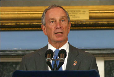
Monday across the United States Eastern Seaboard is expected to be the worst day of the storm. New York Mayor Bloomberg is advising residents to prepare for the storm. Landfall is expected to be Monday night in New Jersey. Newark Mayor Cory Booker is fully engaged in the efforts of storm preparation. Booker is one of America’s most connected social media politicians.
During storms, Mayors Booker and Bloomberg are deeply engaged in efforts in their cities.
Hurricane Mapping and Data from CNN


